


CSU forecasts 2 weeks of minimal Atlantic Hurricane activity
Researchers at the Colorado State University (CSU) expect the next two weeks to be relatively free of hurricane activity in the Atlantic basin.
The forecast released on Tuesday showed there is a 60 per cent chance for below normal activity.
August and September are typically active months for hurricanes in the Atlantic, however CSU meteorologist Philip Klotzbach highlighted that for the first time in 56 years, there have been no named storms between August 13 and September 3.
One of primary factors behind recent quiet period has been a northward-shifted monsoon trough. This has resulted in easterly waves emerging from Africa too far north to encounter conducive #hurricane conditions. These higher latitude waves have also brought dry air. pic.twitter.com/qd0hI1uua4
— Philip Klotzbach (@philklotzbach) September 4, 2024
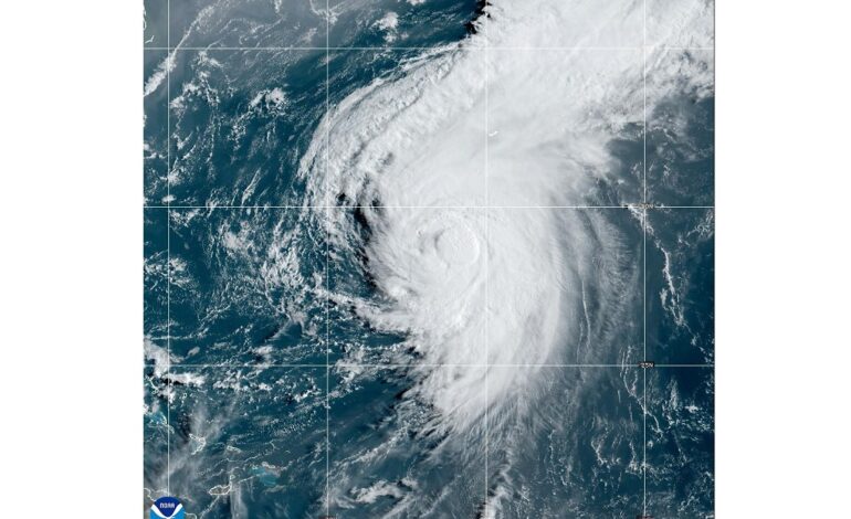
The last storm to develop was Hurricane Ernesto on August 12th.
The Hurricane Season will reach its peak on September 12.
On X, formerly Twitter, Klotzbach said: “One of the primary factors behind recent the quiet period has been a northward-shifted monsoon trough. This has resulted in easterly waves emerging from Africa too far north to encounter conducive hurricane conditions. These higher latitude waves have also brought dry air.”
“While normally a strong African monsoon favours Atlantic hurricane activity, this monsoon has been so robust that it has resulted in strong easterly shear anomalies in the eastern part of the basin, suppressing tropical cyclone formation.”
CSU has issued its next two-week forecast for 2024 Atlantic #hurricane activity. We favor below-normal activity (60% chance) relative to normal (30%) and above normal (10%). Details here:https://t.co/zGcfZmkTAWpic.twitter.com/xF0zqKkezo
— Philip Klotzbach (@philklotzbach) September 3, 2024
He also explained that Upper-level temperatures (above 30,000 feet) are much warmer than normal.
“While historically the difference between upper-level temperatures and surface temperatures has not been a good seasonal hurricane predictor, the degree of upper-level warmth may be suppressing deep convection this year,” Klotzbach stated.
“More recently, sub seasonal variability associated with the Madden-Julian oscillation has been less conducive for Atlantic hurricane activity. Enhanced westerly shear associated with a tropical upper-tropospheric trough looks to prevail for the next 10 days.”
Despite CSU’s forecast, the US National Hurricane Centre is monitoring three systems that have potential to develop into a tropical cyclone.
While normally a strong African monsoon favors Atlantic #hurricane activity, this monsoon has been so robust that it has resulted in strong easterly shear anomalies in the eastern part of the basin, suppressing tropical cyclone formation. pic.twitter.com/N40QWeCNmK
— Philip Klotzbach (@philklotzbach) September 4, 2024
A tropical wave located near southeastern Cuba and Jamaica is producing a broad area of disorganised showers and thunderstorms.
NHC says some development is possible late this week or next week when the wave slows down over the northwestern Caribbean Sea or southwestern Gulf of Mexico.
Another tropical wave, which is located about 800 miles east of the Lesser Antilles, is producing limited shower and thunderstorm activity.
Environmental conditions are expected to become unfavourable for additional development of the system by the end of the week.
